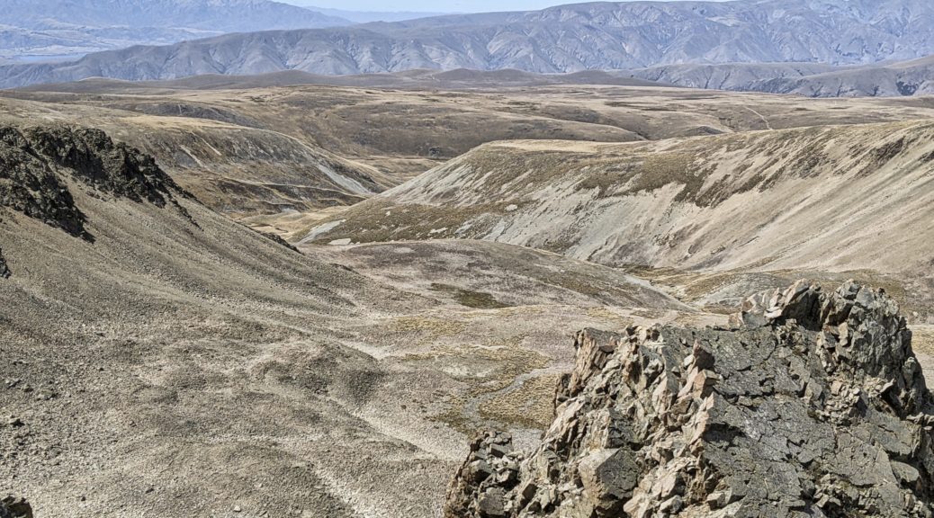
Having spied another possible route up onto the Hawkduns, and with a clear warm day, I couldn’t not investigate it. A gentle warm-up undulating around the water race gave me half an hour of riding before the pushing started.
 Across the valley to the St Bathans Range – somewhere else to explore.
I soon found this 4WD track up slower going than the other route. Not because it was steeper, but it being less-used there was far more grass to dodge or push through.
 Soon enough I had a view to gaze over as an excuse to pause. Back down Home Hills Run Rd, Rough Ridge in the background.
 The foliage thinned at times…
 before eventually disappearing from much of the track. The ridge still looking a fair way away.
 I seemed to have taken quite a few breaks as the day warmed; thankfully a light breeze picked up.
 Halfway to the ridge by now.
 A big rockslide took the double track down to a more precarious thread of a trail – guess this is why this route is not used by larger vehicles.
 Finally I got to the ridge and could see east to the area we’d ridden across a few weeks before.
A good time for more than a snack, I was still a few hundred metres below the summit. Looking at the map the ridge promised plenty of small descents as I headed north, which just meant that there would be more climbing. I set off pushing again, pleased whenever I could get back on the bike. The surface now was mostly rock of various degrees of size and looseness.
 More excellent views of the Southern Alps, Mt Cook clearly visible.
 Ooh, a brief roll down on some fun loose rock before another push.
 Getting there, to another false summit that is.
Starting to realise that perhaps two litres of water wasn’t enough for all this effort, I was both surprised and pleased to see many small patches of snow left from the storm up here the previous day. I filled one bottle with snow and left it to melt.
 I was surprised to see a tarn on the map, even more so to see it actually there.
 Finally, the summit – rather flat, but good views across the Oteake to St Marys Range.
 The highest point may have been a little off the double track.
Four hours in, time to head back along the ridge in the knowledge that I’d go past the point I gained the ridge and climb again. Best get to it. Trying to get some water out of the snow bottle, brittle fracture of my bottle split it down the side – not seen that before, it must have been quite cold or just time to replace it. Still, it held the snow-water mix adequately and I was hydrated.
 A lot of my riding around here is looking like this, it might be time to start thinking about a suspension fork option for this bike. Yes, there’s a track there.
 My mind still boggles that there are fences up here, let alone two parallel ones. Little use now, but funny to see how much one is gradually been subsumed by the rock.
 Back to where I joined the ridge from the valley, but I’d continue south up that hill.
With only slightly more climbing than descending for an hour, I enjoyed a different vantage point of valleys, ridges and peaks that I’m coming to know better – before the long, fast, loose and enjoyable descent to the valley floor.
 Yup, Falls Dam, St Bathans, St Bathans Range, Dunstan Mountains and Chain Hills becoming familiar.

Back at the car with hours of daylight left, a bit shook up and having carried just enough food and water – an excellent half-day trip getting further appreciation for what’s in the current backyard and eager to explore more. Can’t wait for new bike, one with a lot more suspension, to arrive – that beat me up a bit!
