In what may become a December tradition, I was keen to repeat my Mangatutu Hot Springs overnight ride of last year. With all that’s been going on and an upcoming week on call for work & then Christmas – last weekend was the only one left. The forecast looked fair (just a few showers later afternoon Saturday) and I managed to get all packed in an hour, with some encouragement, in the morning. However I got a bit sidetracked(ed) early afternoon, which was OK as it was so hot, and didn’t leave until after two o’clock.
I rode the same route as last year, so will try not to repeat myself too much. As I knew how long it should take me, I figured I had plenty of time; I was also in a photo-taking mood. The northerly was strong and very warm.
 Looking north-east as I climb before reaching Glengarry Road.
 Shortly after, looking towards the Kawekas and bit of cloud.
 There seem to be a few stud farms up near Rissington – these Charolais.
 Climbing more, it’s proper humid – this looking south.
 Looking back east, back down the road I’m following – the hills are getting bigger. Much climbing, slightly less descent.
 Nearing Patoka, the light rain I’d been enjoying got heavier. I sheltered in a small bus shelter trying to work out if it would pass. It didn’t. Putting on my rain gear I carried on.
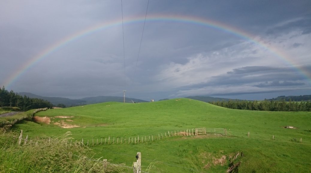
 Through Puketitiri the rain eased & then stopped. I was only half-heartedly pursued by the same fox terrier that harassed me with such speed last year. I was rewarded with a glorious rainbow.
 More glorious green hills – it really is wonderful up there.
Passing Ball’s Clearing, the gravel finally started. I was starting to get concerned that the sky was darkening and I’d spent so long taking photos, that I might be a bit later than intended. Thankfully I’d stashed a bacon and egg pie in my frame bag on my way through Napier. I had that for first dinner, needing the energy – but not feeling that hungry. I was sitting around 600 m of elevation, climbing in general, when the rain came back as a light mist. It set in, so all the rain gear went back on. It was still rather hot as I was riding straight into the northerly.
 The views were a bit different to last year – but I was still in high spirits, if not thoroughly wet – not for the first time that day.
 I reached the top of a large descent that took me into another valley before turning off to Makahu Rd and the hot springs.
There’s only eleven kilometres left to ride, out of seventy-nine, but three significant hills to climb. The first is so steep the gravel has been sealed.
 I paused near the first crest to see how all the livestock were coping – completely unperturbed would be the answer.
The rain continued as I plunged down to the only ford that must be negotiated – I got wetter feet, but at least the river was warm. Next was the longest steep climb of the day – now in dusk, it was so hot I rode up there (it goes on & on) without my helmet or hood on. A couple of cars heading for the pools passed me. Through the private farmland down to the last bridge and there stood another steep climb. That surpassed it was downhill to the campsite at around sunset.
I quickly put my tent up and somehow managed to light my small meths burner in the rain and cook dinner. I crawled into my tent, trying to keep all my dry things as dry as possible and ate dinner there. Now dry, the thought of going out in the rain to the hot springs didn’t appeal – so I listened to wonderful podcasts and was pleased at how this little adventure turned out. I remembered the delight my grandfather took in, as explained in his short autobiography, overcoming the elements when on a bike. This was hardly English cold or rain – but it felt good all the same. The rain continued to fall as I drifted to sleep.
After one of the better night’s sleep I’d had recently, I was up and about early enough under a clear blue sky. Having not been able to finish dinner the previous night, I had the strange taste of freeze-dried chicken curry for breakfast (not for the first time I must admit – Kiwi Brevet Day Two comes to mind). I had the hot springs to myself as I soaked aching muscles and cares away.
 A peak of the Mohaka River from the pools – it’s not a bad spot, at all.

I faffed around a bit waiting for the sun to dry out some of my soaked gear – that worked a bit, but eventually I admitted defeat and packed away a lot of wet gear. Setting off before nine o’clock, it was straight into the steep climbs on the gravel.
 Looking back towards the northern end of the Kawekas.
 Back onto the main road, I went back up yesterday’s plunge – a little bit of a contrast to five photos above.
 It’s shearing time, I watched for some time the ebbs and flows of this mob of sheep being herded. It was a strangely relaxing sight as the dogs and shepherds worked away. Sheep in yards and the buzz of shears were a regular occurrence for the rest of the ride back to town.
 The setting may have helped some.
 Back through Puketitiri, I stopped at the local Par 3 golf course for water and was a little sad about declining rural communities.
I was eager to get home and somehow managed the return trip on half of last night’s dinner and few handfuls of scroggin/trail mix. The sou-wester was even stronger than the northerly of the day before, but my legs were up to it – even if my poor stomach had no idea what it was feeling. Home easily in less than twenty-four hours, I was thankful for the escape of micro-adventures as I set about washing and drying everything. An excellent little trip – I think making that a regular December trip is a good idea; although perhaps I should check the Kaweka forecast more carefully in the future.
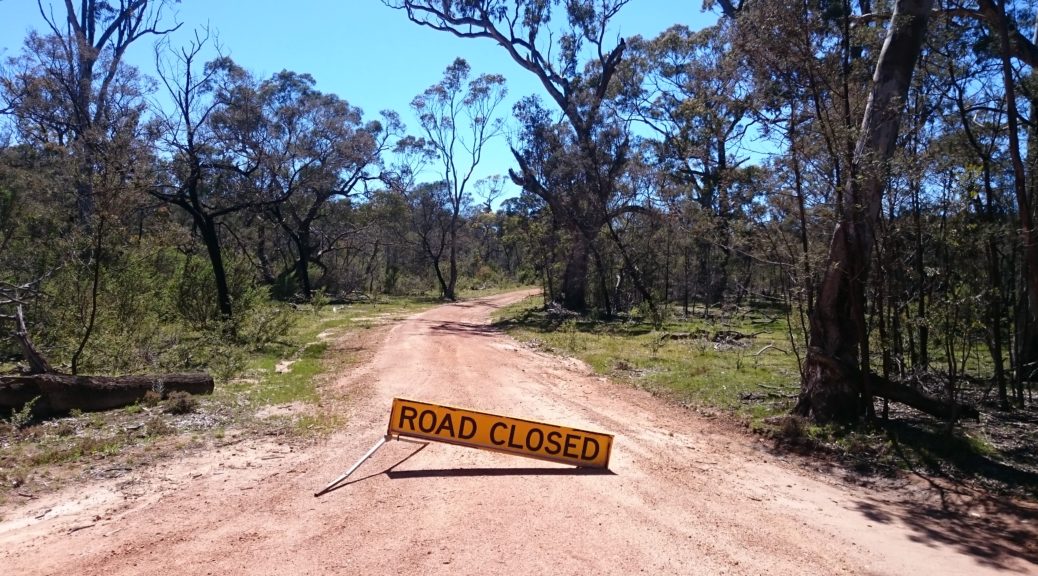

 Nothing to see hear folks, move along.
 The road widened for a while before I turned off.
 Onto another closed track, which narrowed, I startled many a kangaroo. They, sensibly, all bounded off away from me.
 The roughest bit of the day & the only bit I ended up walking. There’s a bit of a climb there and the surface deteriorates half way up.
 Some of the creek crossing were fun to try and get across without dabbing. I soaked a foot in an earlier, deep, one – but as the cloud burned off this didn’t bother me.
 The hills that had been in the distance, steadily got closer.
 Easy gravel road riding. Smooth, wide – & red!
 Just another sign to ride around.
 I stopped for lunch where there was half a view, and finally decided it was warm enough to remove my gilet; sleeves stayed on as they are good sun protection and it still wasn’t hot. Perfect.
 Even the swamp in the bottom of the valley, was looking good –
  Suddenly a water-logged airfield. The top of the hill on the left was my start and end point.
 The only photo I managed to nab of an emu.
 I took a small side-trip to some falls, reasoning that they might have water over them.
 I’d basically ridden from the bottom of the left of shot, towards the reservoir before continuing beyond it to the left, going between those two small hills and then heading back right on the other side of the reservoir.
 Following that, I came back towards the camera in this shot before heading around the spur in the centre and finally back up to the lookout.
 And there are even some rocks.
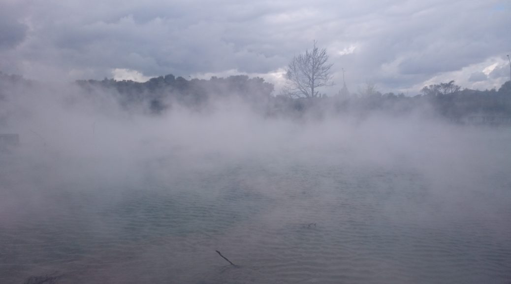
 The rain eased the further I got from Rotorua, but it was still a rather bleak morning.
 Main Street Tokoroa was a, ahem, cultural experience. At least the food was cheap and the portions large – which may have been deduced without walking into the bakery.
 There was a strange prevalence of Series I Land Rovers around Lichfield.
 Putaruru also added to our cultural learnings for the day as we stopped for a small lunch.
 Great gravel grinding.
 Steve realised we’d not got a selfie yet. I think you can see a bit of a grimace there. After five hundred kilometres and four days, the place had been found where it hurts to sit on the saddle, yet it hurts just as much to stand up on the pedals. I never doubted he’d make it, but apparently that was a little naive.
 I couldn’t, much to Steve’s amusement when I ended up with rather wet & muddy feet.
 Back surrounded by farmland, we got a good look at scores of these unusual formations. For some reason I thought them volcanic plugs, I’ve no idea if that’s correct.
 And then fought off the local birdlife as pies were devoured.

 The last little bit on this unusual cycle path – a little bit of frivolity snaking along the Green Corridor (although this bit is patently not green).
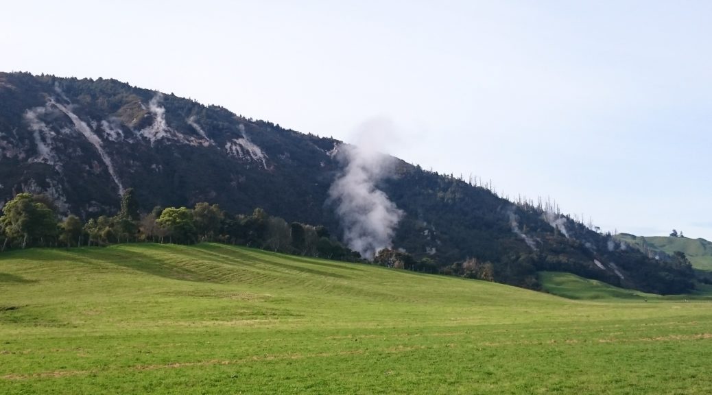


 Admittedly, there is not much activity to be seen in this picture.
 Lake Rotorua looking a little gloomy as a strong wind whips off the lake towards our tents.