With all the hills of northern Manawatu still in my legs, I’d no real plan for how far I’d make it. I also realised I hadn’t seen a single rider on the route the previous day – a first for my Tour. That was quite alright as I’d so enjoyed the day. The day from Palmerston North turned out to be quite social in other ways. Having seen university flatmates, Terry & Kate, in town I was pleased to see a car pull over in front of me as I ground up the Pahiatua Track. After battling with a typically dastardly Palmy gale for ninety-odd minutes, the chance to stop was welcome. It was Louis, a childhood friend & uni flatmate of the same flat, on his way to work in Pahiatua – great to catch up, albeit in an unusual place.
Not far past the summit was a turn off to a rural road – it was nice to escape the morning traffic crossing the Tararuas. Most of the day was on rural back roads through more hilly farms – first dairying country, before it got drier and more inclined to sheep & beef farming. I was disappointed not to get a full English breakfast in Pahiatua, but still ate well for second breakfast. After the steep downhill off the ranges, the route climbed gradually for fifty or so clicks – thankfully the wind was much less forceful on the east of the Tararuas. Still a headwind for much of the day, it was not quite a nuisance or too much of a hindrance.
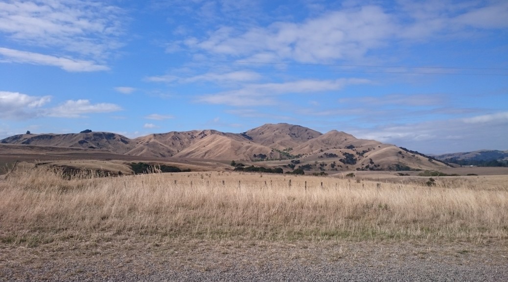
 More rural scenes, it started out green.

 I stopped for the photo checkpoint, and pies, in Eketahuna. The giant kiwi has gone albino.
Around noon, a friend met me in the middle of nowhere to ride the thirty-five kilometres down into Masterton. Craig, a Pukekohe & NZ Steel mountain-biking buddy, was now back learning the ropes to take over the family farm. It was great to have someone to chat with (there was a lot of catching up to do as we hadn’t seen each other since the fantastic Queen Charlotte ride seven years before) – obviously Craig was pretty interested in the Tour and bikes too, so the time passed quickly.
 I did find a proper breakfast (second-lunch, or third-breakfast, by this stage) in Masterton. There were even beans! Little did I know that that would be the last full English I’d find on my trip – despair.
 Masterton even got in on this swing-bridge thing, but I suspect they’d had their’s long before DOC even existed.
Bidding farewell to Craig, I continued south into the breeze, enjoying the scenery and the lack of traffic. I always found plenty to look at – at some stage there was even a big sign out encouraging Tour Aotearoa riders. It was definitely drier this far south in the Wairarapa. There was plenty of time to think with no other riders around. As I considered the previous week, thoughts turned to the Tour Divide – what I like to call the grandaddy of these types of events. That event has been on my radar for a few years now and I was beginning to think that I might be a possibility of having a good attempt at it.
But it’s so much more epic, that it would require much more planning and time. At about 4500 km (fifty percent longer) and with over sixty thousand metres of climbing (almost twice as much) following the Continental Divide from Canada through five US states to the Mexican border it is more extreme in almost every way. Longer, colder (up north), hotter (down south), with dangerous animals, proper mountain passes, and greater distances between resupply – I’d be a fool to turn up with amount of preparation I did for Tour Aotearoa. One day, in a few years, I’ll have sufficient leave and time to have a go – at least, I sure hope so as Tour Aotearoa had been so fantastic so far.
 I turned east towards Martinborough as the sun sunk.
It was great to stop in Martinborough and to catch up my uncle and aunt. As always, Tour stories and practicalities dominated the conversation. The week so far was certainly different for me – having so much to talk about. From here, I had a few options: call an early day in Martinborough, or carry on riding and either camp at the top of the Rimutakas, stay the night at one of the open homes (there were homes of supporters of the Tour on the route that were open to riders to stay in) around Wellington or make the early morning Cook Strait ferry.
After a nap and dinner, I went with the theory it’s good to do something a little crazy & push oneself every so often; I jumped online and booked a ticket on the two-thirty ferry. I had six hours to ride a hundred kilometres and cross the Rimutakas by night. It would be close, but I was confident as the wind would be at my back from Martinborough to the hills and I’d previously crossed the Rimutaka Incline and knew it wasn’t too difficult (being an old, albeit steeper-than-normal, rail route). All went pretty much according to plan, I easily made the Incline trailhead before dark and the trail up was easily ridden in the dark.
 Heading for the hills.
 Another checkpoint – the Rimutaka summit tunnel, at about twenty to ten.
It was a pleasant night for riding (I don’t think I would have bothered otherwise) and the ride off the hills was great fun. Things started to slow a bit as I followed the Hutt River down to Wellington harbour. The navigation through all the little turns wasn’t particularly easy in the dark, even with the GPS track to follow, and it just went on and on. I was starting to cut it fine, but finally I was on the cycle path sandwiched between dual-carriageway and the harbourside railway heading for the ferry terminal. I was surprised to have to stop and get marshalled through midnight track work that had taken over the cycle path.
With only seven kilometres to go I started getting calls from the ferry company wondering where I was. Apparently boarding was an hour before sailing for foot passengers (!) – I’d not read that in my rush to book a ticket. I assured them I was almost there and then stepped on the gas. Another phone call from someone else at the ferry halted progress – “I’d be there by now if you’d stop bloody phoning me”. Past parliament and I checked in – & then promptly waited fifteen minutes until boarding.
There were far more Tour Aotearoa riders waiting in the boarding lounge than I imagined – they’e all been in Wellington far longer than I had. I was pleased to finally catch up to and chat to Jonathon Kennett – thanks to his tireless work putting the route together and basically organising everything, we were all on this grand adventure. The adrenaline was still coursing through me after the mad dash at the end of a pleasant night ride, so I found it a little difficult to settle into a slumber after we boarded.
 I did remember to get the obligatory checkpoint photo from the ferry, before trying to get some sleep on the rest of the voyage.
Stretched out over a few seats, I took some time to consider that I’d just ridden (more than, really) the length of the North Island in eight and a half days. Over half the trip was done and I was therefore well on track to finish in the eighteen days I had – this was good to know. But even more pleasing was that I’d put some consecutive long, hilly, rough, hot and tough days together without too much bother – that is after the stomach upsets of the first twenty-four hours. I wasn’t expecting that. With this general satisfaction of my Tour so far and anticipation of the remaining adventure I drifted off to a surprisingly reasonable, albeit only three hours, of sleep. Oh, and this was my longest day on a bike ever – but by no means the toughest.


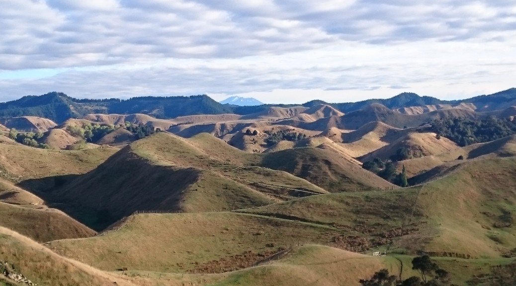
 I was surprised to see Mt Ruapehu in the distance all of a sudden (it’s the tallest peak in the North Island) as I looked out over all the hills.


 Old buildings continued to pique my interest.
 Rangiwahia was bigger than I would have imagined if I’d ever heard of it. It would have been nice to poke around a bit and stay at the campground – but it was only just after noon. On to Palmy.
 Pleasant enough plains for a while.
 Until you reach a valley carved out by water flowing out of the ranges – a big plunge and a steep climb to recover most of the altitude lost. You can just see the road going down the valley wall towards the left of this picture.
 The clouds building up said the weather might not be so benign for so long.
 I’d never been to Apiti either –


 Found this where the track met the road/track in from Raetihi. Bike looking very lightly loaded as I’m wearing all my wet-weather gear.
 Every so often there would be some sort of introduced flowering plant still surviving – the contrast was stark. Still quite a few non-native pines growing strongly.
 There were also many small signs with surnames displayed – remembering the families that had those particular plots. This simple method of memorial was quite poignant – as there really is very little left showing forty-odd families lived here.
 Across the valley – there are many ferns there reclaiming the grassland.
 The riding was pretty easy, still heading down. There were quite a few bits where riders were advised to walk – but as they had nothing on the
  It was built to give better access for the families described above – to save them clambering up & down the valley walls. But by the time it was built they had the road (that I’d just ridden in on from the north) for access – so it was of little use and therefore little used as river access was no longer important.
 My bike, a rock and quite a river.
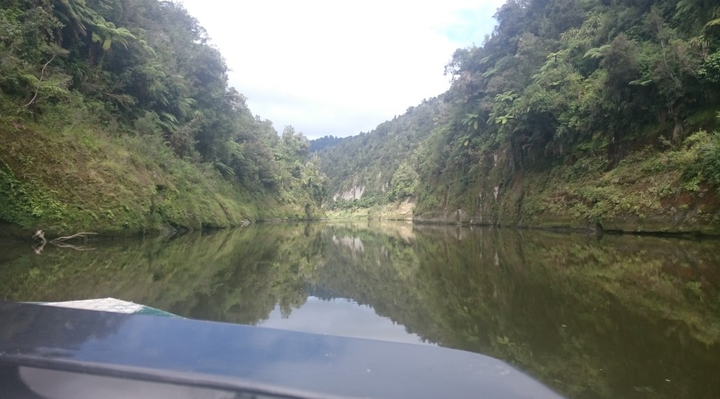
 So it happened that I did get a ride on this boat – I think we had ten bikes and riders. I was pleased my bike didn’t go on a rack projecting out from the stern.

 Number plate shed caught my eye.


 Standing fifty-odd metres above the valley floor, one gets a good idea of how dense the forest really is.
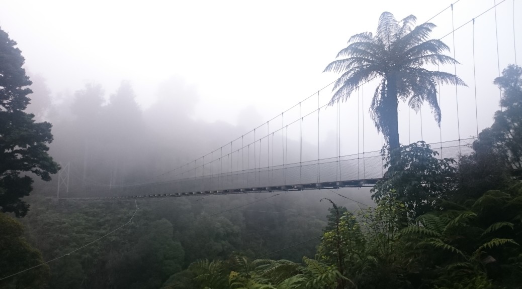
 It’s quite a way down – I’m glad this wasn’t a standard-issue DOC swing-bridge.

 The trail then followed an old bush tramway that was used to haul logs out from all over this part of the forest – much smoother riding on a gentle gradient.
 The Ongarue Spiral – a very small railway spiral, but interesting as it used both a bridge and a tunnel.
 Heading for the tunnel exit.
 As if I needed a reminder that the North Island is very hilly. They never get particularly big or mountainous; but by gosh, there are a lot of them.
 General consensus seemed to be that the North Island topography was much more punishing than the South. Having done my small amount of training on the hills behind Hawke’s Bay, I was at least a little conditioned for this.
 I think it was in this isolated place I started taking photos of curious, remote buildings from another time. This community hall is still occasionally used, apparently – I saw no signs of such.
 The gravel road riding was excellent.